Using Google Earth to identify site looting in Peru: Images
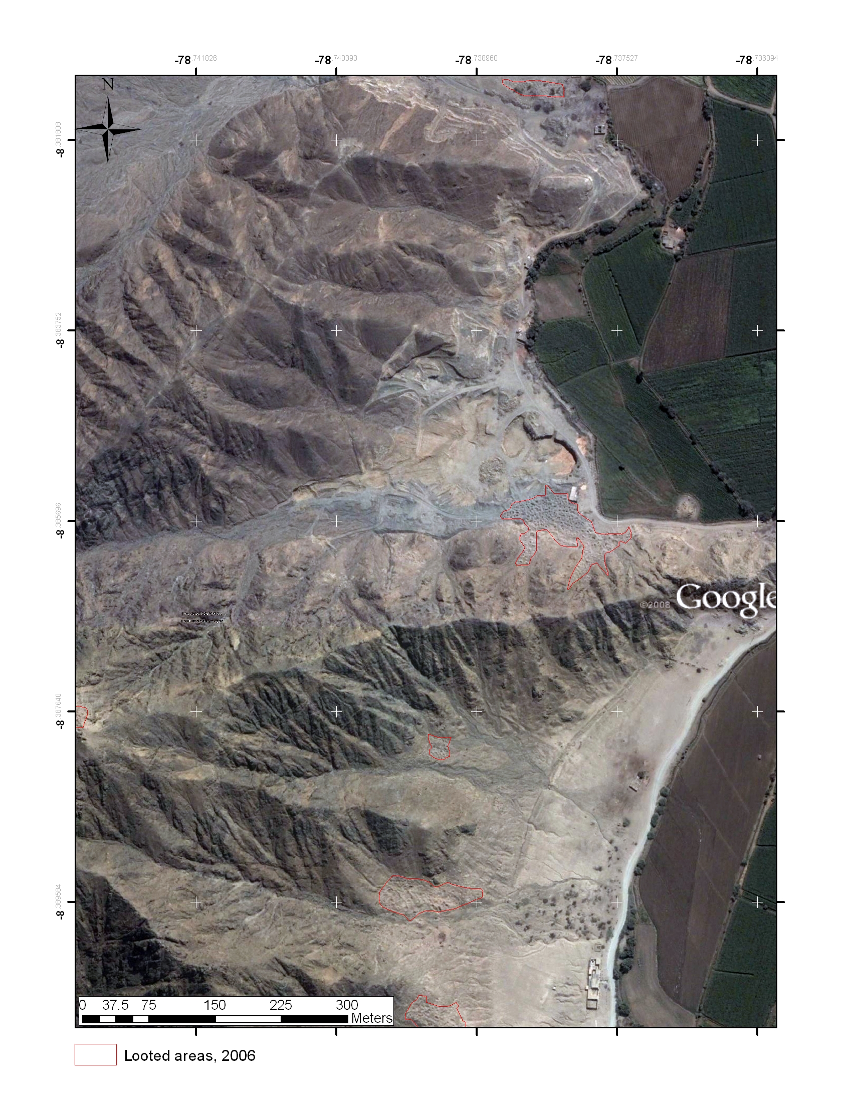
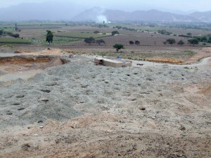
The following show looting damage visible just north of the Castillo del Tomaval in Peru’s Viru Valley, that were identified in the study of looted sites using Google Earth carried out by Dan Contreras. These images were captured in 2006.
Chart and Tabular data: Jordan


