
Theory and Method
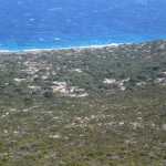
Surface investigation of looted archaeological sites
Regional surveys of archaeological landscapes offer a means of investigating and quantifying the damage caused by the looting of archaeological sites.

Freedom of Information Requests
Freedom of Information requests can be made to release into the public domain information about the traffic in cultural objects.

Media Investigations
Some of the most informative studies of the traffic in cultural objects have been conducted by investigative media.

Satellite Imagery for the Investigation of Looted Archaeological Sites
High-resolution satellite imagery can offer a cheap and efficient means of monitoring the damage caused to archaeological sites by looting.